
Peters Township Postal Records Coverage
Peters Township has five verified delivery codes in the County's address-point data, not one township-wide postal code. The figures below are distinct address points whose county GIS source was queried for Peters Township. They are not delivery totals, population counts, or a list of residents. The postal-community value can differ from the municipal jurisdiction, so the table is a starting point for geography rather than a shortcut to a person search.
| Postal code | County address-point coverage | Post office or postal label | Record-research note |
|---|---|---|---|
| 15241 | 142 Peters Township address points; Pittsburgh and Upper St. Clair labels | Upper Saint Clair Post Office, Pittsburgh | Small township-edge segment. |
| 15317 | 5,300 address points; Canonsburg and McMurray labels | McMurray and Canonsburg offices | The township's principal local share, with a postal-city mismatch. |
| 15330 | 35 Peters Township address points; Eighty Four label | Eighty Four Post Office | Small township segment. |
| 15332 | 152 Peters Township address points; Finleyville label | Finleyville Post Office | Small township segment. |
| 15367 | 3,793 Peters Township address points; Venetia label | Venetia Post Office | Large township share with its own postal community. |
County address-point data separates municipality, postal community, ZIP and ZIP+4, house number, street, unit, and tax-authority fields. That schema explains why a valid Canonsburg, Pittsburgh, Upper St. Clair, Eighty Four, Finleyville, McMurray, or Venetia mailing label does not settle the government jurisdiction. Verify the specific parcel after finding a delivery code.
Note: The address-point figures are a research snapshot and can change when addresses or postal routing change without moving the township line.
Peters Township Postal Records Mark Geography
A ZIP is a delivery geography, not a municipal boundary. Peters Township's local record trail needs three checks: the Township's street and house-number map for orientation, a USPS result for delivery formatting, and the county GIS result for the parcel and municipality. This order helps when a McMurray label accompanies 15317, a Venetia label accompanies 15367, or an edge address carries a postal community outside the township's name.
The Peters Township Maps page publishes the Street and House Number Map as of July 2024, plus zoning, land-use, and project maps. The county's GIS property map then accepts a property ID, address, or owner and returns an owner-name result, property ID, and site address when it finds one. An owner label is property-record information, not a complete record of who occupies a location.
Verify Peters Township Mail Codes With USPS
Use the official USPS delivery lookup to verify a particular delivery address. It answers the mailing-format question for that address. It does not confirm that a person or organization is at the address, and it does not establish municipal jurisdiction. If the delivery question is unresolved, use the USPS location service for current retail information rather than relying on a saved office-hours note.
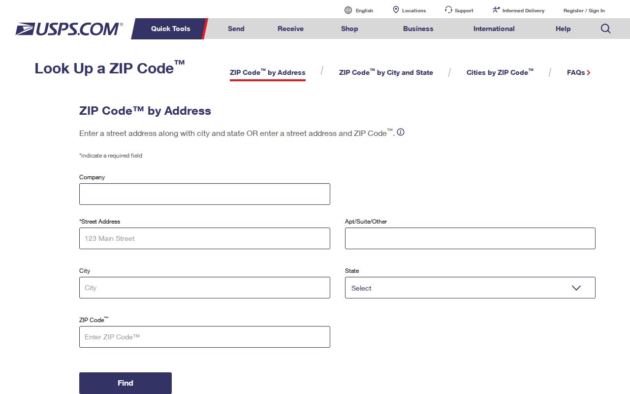
The screenshot shows the address-to-ZIP route used for a specific address check. The relevant facilities in the research snapshot are McMurray at 3935 Washington Rd., Canonsburg PA 15317; Canonsburg at 120 W. Pike St.; Eighty Four at 812 Route 519; Finleyville at 3510 Extension Ave.; Venetia at 500 Venetia Rd.; and Upper Saint Clair at 2211 Lesnett Rd., Pittsburgh 15241. The McMurray facility itself has a Canonsburg street address, a useful reminder that postal naming and township jurisdiction are separate questions.
For a current counter or telephone option, consult the USPS location finder. Do not convert an office name or ZIP lookup result into an assertion about residency.
Find Peters Township Records by Postal Code
No verified public official tool returns an all-resident Peters Township postal-code list. The useful workflow narrows an address and then moves to the right records custodian. A delivery code can help normalize an address, distinguish similarly named roads, or locate a voluntary organization listing. The parcel, deed, or regulated voter record remains a separate source with its own rules.
- Enter the complete address in the USPS address lookup and record the resulting delivery code and postal wording.
- Use the Township Street and House Number Map and the County GIS map to confirm that the road and parcel belong to Peters Township.
- Open the County parcel result, note its Property ID and Site Address, and follow the Assessor link for a property record if a parcel trail is needed.
- Use the site address, property ID, or an instrument reference for the relevant record. For a named road after the ZIP has narrowed the place, use the Peters Township street directory route for the parcel-to-deed workflow.
- When a voter list is legally needed for an election, political, or law-enforcement purpose, use the Department of State request process rather than treating a ZIP as a public voter filter.
A ZIP may appear in a court or address context, yet the field's presence does not turn that system into a resident directory. The County property and Recorder records are stronger for an identified parcel. USPS remains the delivery verifier.
Peters Township Parcel Search Fields
The observed county tools do not offer a verified ZIP-wide owner or resident filter. Their different search fields are still useful once an exact address is known. The table separates a property lookup from postal verification and avoids a false promise that one portal can enumerate a whole Peters Township delivery area.
| Portal or route | Observed search field | ZIP handling | Appropriate result |
|---|---|---|---|
| County GIS property map | “Search by property id, address, or owner” | No ZIP filter was observed | Find one parcel and its site-address context. |
| County P.A.S. Address | Street required; optional Number, Suffix, and Direction | No ZIP field was observed | Find an assessment parcel from a street address. |
| County P.A.S. Advanced | Owner Name, Parcel ID, Sales Date, Sales Price, Street Name, Street Number | No ZIP criterion was observed | Combine documented property details. |
| USPS address lookup | Complete delivery address | Returns postal ZIP formatting for that address | Verify delivery geography, not a person or parcel owner. |
The County's P.A.S. Property Records Public Access Site and the GIS map serve the property chain after location is established. The official parcel viewer's geocoder can use ZIP as a place component, but that does not create a ZIP-wide ownership list. The research also found a Parcel ZIP field in some UJS search context; that field belongs to court-calendar or parcel searching, not a public residents roll.
Peters Township Postal Labels Cross Boundaries
The key local postal-code quirk is 15317. County address points for Peters Township use both McMurray and Canonsburg postal-community values, and the research identifies two 15317 facilities: McMurray at 3935 Washington Rd. and Canonsburg at 120 W. Pike St. The shared code does not make one postal city a replacement name for the township. Use the municipality field in the county record when jurisdiction matters.
The township edges add other examples. The 15241 portion has Pittsburgh and Upper St. Clair labels, while the small 15330 and 15332 portions use Eighty Four and Finleyville. Venetia's 15367 covers a large township share. These labels are essential address clues, but they should be treated as postal or locality data until GIS and parcel records confirm the relevant Peters Township property.
Note: A Canonsburg, Pittsburgh, or Upper St. Clair postal label does not by itself disprove Peters Township jurisdiction.
Peters Township Postal Record Limits
ZIP-based searching should not be used to create a broad person list. Pennsylvania's individual registration-status check is for a voter to check that person's own registration. Washington County Elections maintains the county database and directs voter-information requests through a form. The state voter-list request form offers Public Information, Street, Walking, and Full Voter Export products, but the products require requester information, county scope, a signed certification, and use consistent with the form's stated rules.
The Street and Walking products are address-oriented but are not a ZIP browser map or a general contact directory. The form cites 25 Pa.C.S. §§ 1403 and 1404, limits use to election, political, or law-enforcement purposes, and bars internet publication. Direct operational questions to Washington County Elections. The voluntary Peters Township Chamber directory has a ZIP field, but it is a directory of participating businesses and community organizations, not a government resident list.
Historic Peters Township Postal Context
Historic research should not force a modern postal code onto an older address. Peters Township Public Library Archives holds a map collection with an 1817 Washington County map, the 1876 Caldwell atlas, 1911 farm-line maps, Township street and property maps from 1978 to 2019, and historic aerials from 1957, 1983, 1993, and 2000. These sources can supply farm, village, road, subdivision, and parcel context when a current postal code does not fit an older record.
The Peters Township Street and House Number Map is the current bridge between the historic collection and a parcel search. Peters Township Public Library Archives schedules archive visits with the archivist and supplies finding aids for Local History Room materials. Compare the historic place wording with a current parcel's legal description and site address. No municipality-wide ZIP realignment date or township-wide address-renumbering event was verified, so a careful record trail acknowledges that gap rather than inventing one.
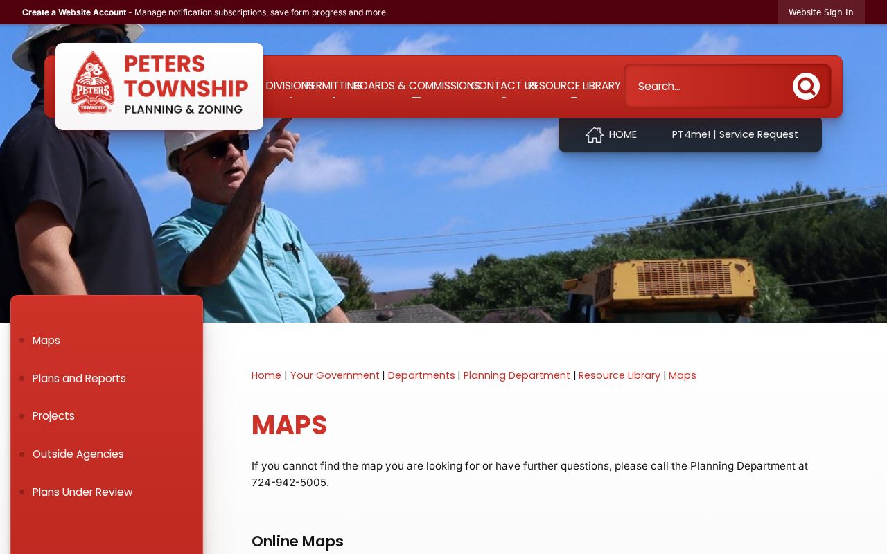
The current map is the bridge between postal verification and parcel geography. It helps locate a road before the search moves to a deed, assessment, or archive record, while the historic map collection keeps older village and farm references from being lost.
Limits of a Peters Township ZIP Code Directory
A postal directory can organize delivery geography, but it cannot certify a property line, a complete resident roster, or a person's present connection to an address. County GIS, P.A.S., USPS, and historic maps answer different questions. Read their labels closely, preserve the source date, and confirm a significant result with the public custodian that holds the record.
- ZIP
- A postal routing code used to sort and deliver mail. It does not define Peters Township's government boundary.
- ZIP+4
- An added delivery-routing segment used with a ZIP. It is more specific for mail processing, not a property identifier.
- PO-box ZIP
- A code used for post-office box service. No Peters Township PO-box-only code was verified in the research.
- Unique ZIP
- A code assigned to one organization or destination. No unique Peters Township ZIP was verified in the research.
- Carrier route
- A mail-delivery sequence within a postal area. It is not a municipal or parcel boundary.